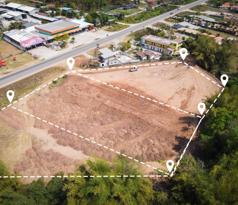
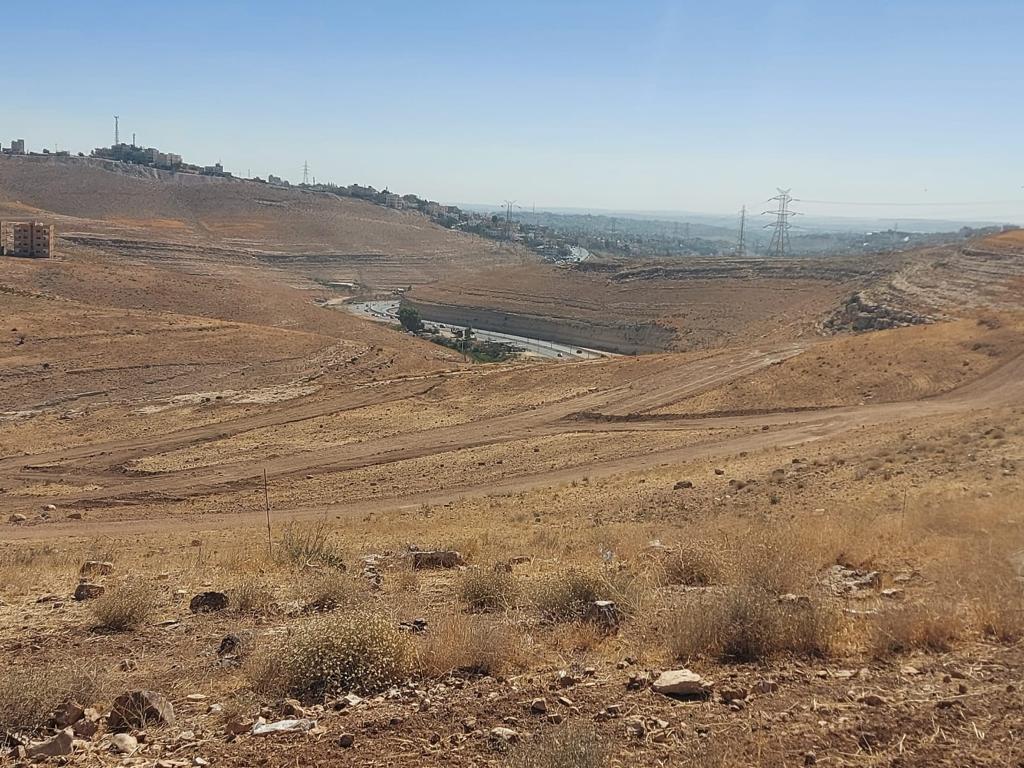
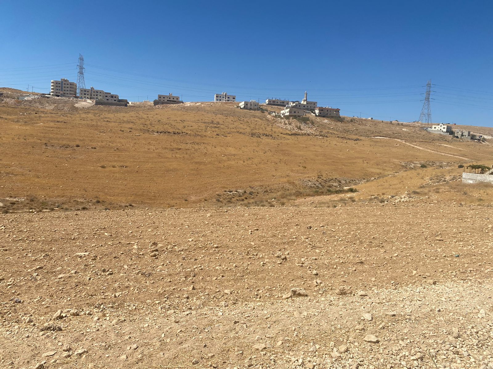
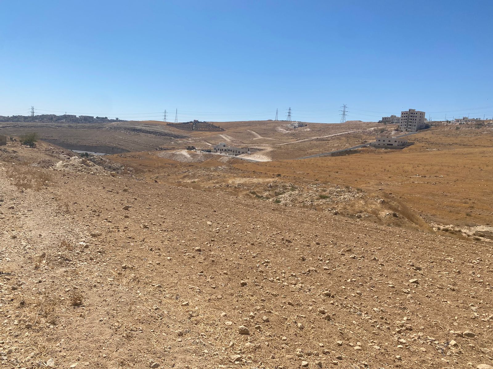
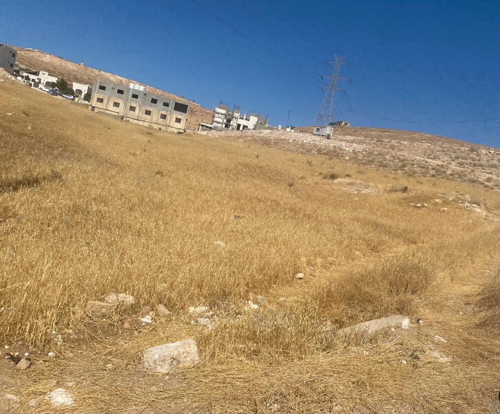
Lands East Amman
There is a group of lands of different sizes in the Ain Ribat basin, all of which
are organized by the C organization.
– One of these lands is one of the distinctive plots located in the Tabarbour
area, Tareq City - Amman, and on the 100 m Al-Jubaiha Highway (Amman
Rabieh) - Tabarbour - Rusaifa - Zarqa
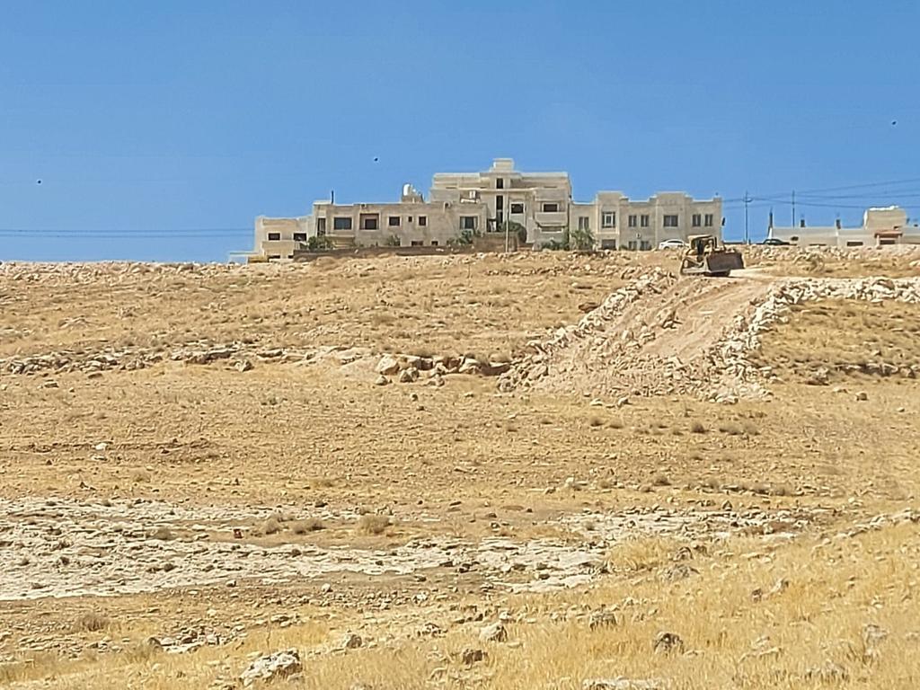
The site is adjacent to the housing of the special class judges (royal honor)
The land area is 49 dunums in the area of Tariq Hawd - Ain Ribat. It has a
frontage on Jubaiha Highway (West Amman) - Yajouz (Rusaifa - Zarqa) (with a
width of 100 m), a length of 350 m and a width of 550 m. It is also crossed by
another street (with a width of 20 m) that connects the Autostrad Street.
Tabarbour (Tariq City - Amman), and it is directly adjacent to a street with a
width of (20 m).
The plot is within the organization of the Greater Amman Municipality, housing
(C). This plot is sorted and organized at an average area of 500 square meters at
least (or larger according to the need of the project and the architectural and
engineering studies) for the project and according to its objectives
It is distinguished by its proximity to West Amman (it is 4 km away from West
Amman, and it is located on the highway linking Jubaiha (West Amman) -
Tabarbour - Rusaifa - Zarqa).
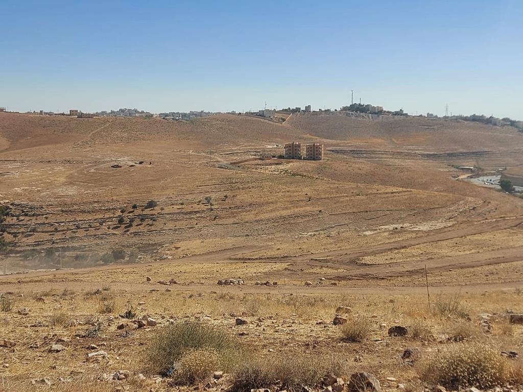
The land is very close to the Al-Abraaj area (the fourth district) of the city of
Amman, the capital, according to the new master plan. The project is located no
more than 3 km from the Al-Abraaj area.
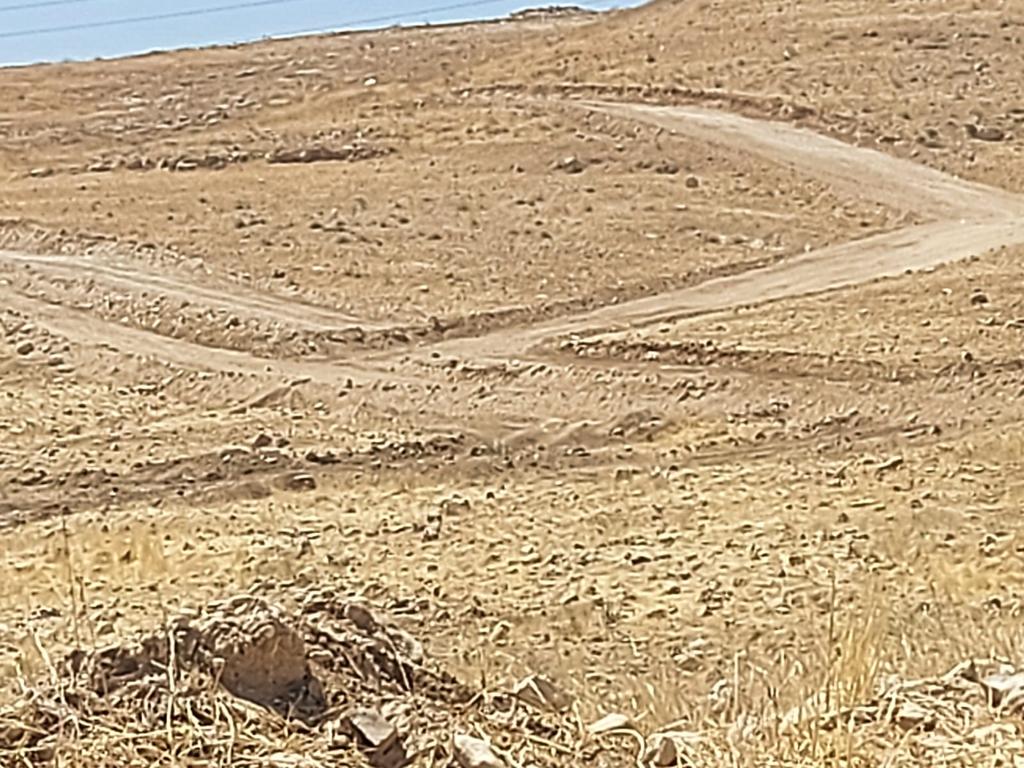
This plot is distinguished by its simplicity and reasonable slope in some
locations, which means that it is easy to open streets and build on them. It is
also suitable for establishing multiple projects (residential and commercial
complexes, schools, hospitals, and markets).
This plot is characterized by its ease of marketing (as it has been plotted and
organized) on large sectors, and there is an urgent need for such services,
especially the increasing local demand for such small spaces to build houses and
villas on.
The entire project is located within the boundaries of the Greater Amman
Municipality, where services (roads, electricity, water, telephone) are available
in the area and at the expense of the Greater Amman Municipality, by virtue of
the fact that the piece is within the organization of the Greater Amman
Municipality
Number of the basin 3#
Name of the basin:Ain Rabat
The village: Tabarbour
The area in square meters:9917
Number of the basin 3#
Name of the basin:Ain Rabat
The village: Tabarbour
The area in square meters:7603.5
Number of the basin 3#
Name of the basin:Ain Rabat
The village: Tabarbour
The area in square meters:17437
Number of the basin 3#
Name of the basin:Ain Rabat
The village: Tabarbour
The area in square meters:5081
Number of the basin 3#
Name of the basin:Ain Rabat
The village:Salt
The area in square meters:8370
Number of the basin 3#
Name of the basin:Ain Rabat
The village: Tabarbour
The area in square meters:5499.74
Number of the basin 3#
Name of the basin:Ain Rabat
The village: Tabarbour
The area in square meters:4217